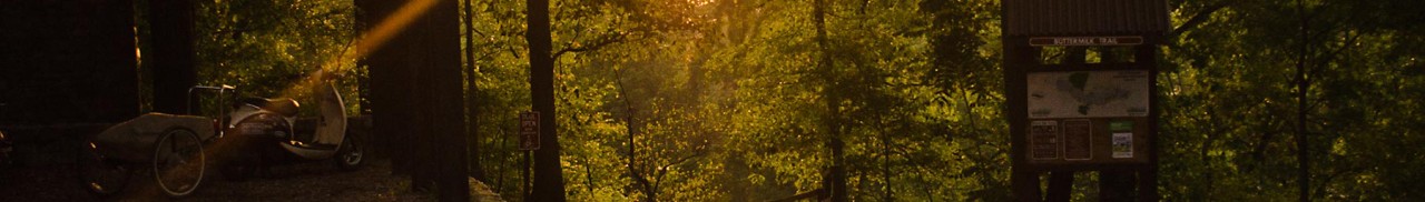
Poor Mountain Natural Area Preserve
Poor Mountain Natural Area Preserve protects the world’s largest population of the globally rare shrub Piratebush, which is restricted to only a handful of sites in the mountains of Virginia, Tennessee, and North Carolina.
The “Wednesday Trail Crew,” a group of local volunteers led by Bill Gordge and the Roanoke Valley Pathfinders, constructed more than 1.5 miles of the trail system at Poor Mountain.
While the 0.75-mile Piratebush Loop interpretive trail affords a relatively level and easy hiking opportunity, the main loop trail affords a strenuous 3.8-mile hike with over 500 feet of vertical drop and return climb. Stone stairs, scenic vistas, fire ecology, and outstanding looks at Table Mountain pine woodlands make the Poor Mountain Trail a great recreational resource. Hiking the loop in a counter-clockwise direction provides the easiest hike. Hike in a clockwise direction if you want more of a challenge. Overall, the preserve offers challenges as well as leisurely hikes that expose the beauty of Poor Mountain.
Distance
- Overall, there are 4 miles of trails, but individual trails can be crafted through these that make it shorter.
Hike it
- Please call before visiting at 540-265-5234 as sometimes trails and the park may be closed to restoration and resource protection.
- The Piratebush Loop Trail is .8 miles, the Overlook trail is .7 miles, the Cascade Trail is 1 mile, and the Canyon Trail is .9 miles. They can be combined or hiked individually.
Directions/Parking
- From I-81 near Roanoke, take Exit 137 onto Route 112 East into Salem.
- Go 0.5 mile to Main Street (Route 460). Turn left (east) and go 0.8 miles to Mill Lane on the right. Turn right and go 0.4 miles across railroad tracks and the Roanoke River to West Riverside Drive.
- Turn left and go 0.8 miles to 12 O’clock Knob Road (Route 694) on the right. Turn right and go 4.8 miles to the preserve entrance on the right.
- There is a small private parking lot where parking is encouraged for hikers.
Add-on Adventures
- Drive the Blue Ridge Parkway in Roanoke or Floyd County, just a short distance away, for a scenic drive through the nature and beauty of the Roanoke Region.
- Visit a local brewery and bottle shop, such as Barrel Chest Wine and Beer in Southwest Roanoke County, just a few miles away off Electric Road.
- Eat at Bent Mountain Bistro on Bent Mountain, just a short drive away from 12 O’Clock Knob Road in Roanoke County.
Create Your Own Land Adventure
Get Started Powered by Roanoke Outside